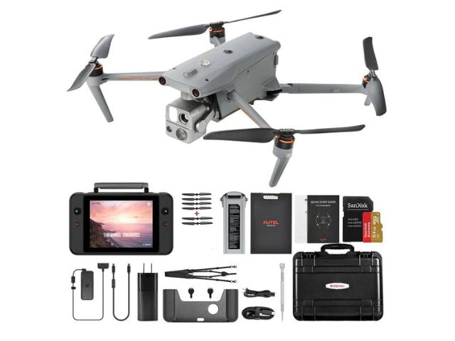
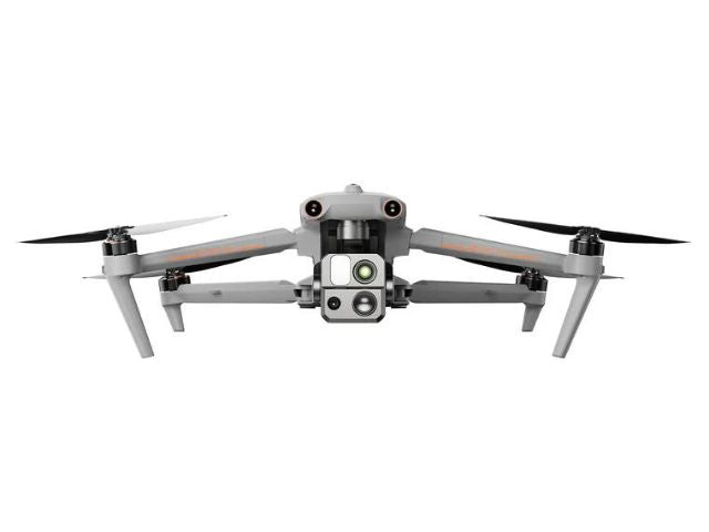
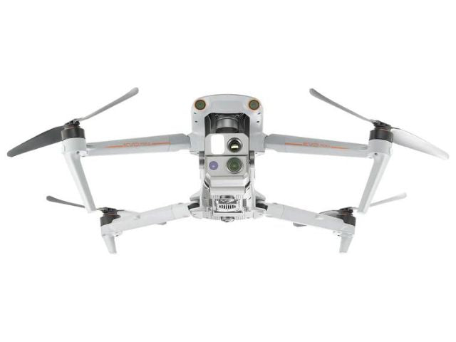
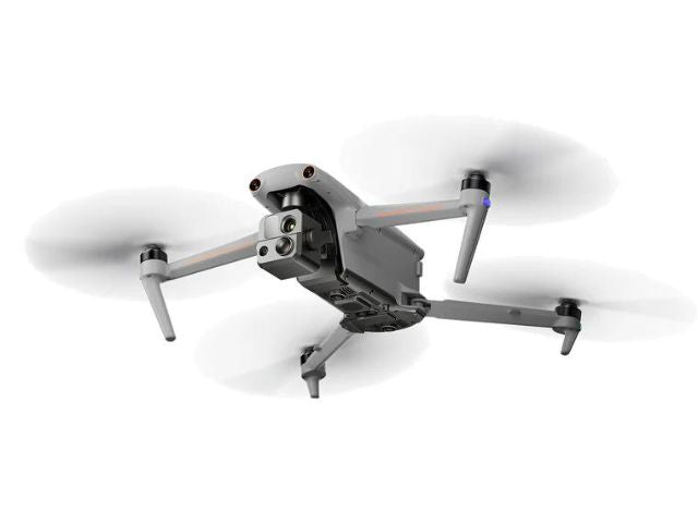
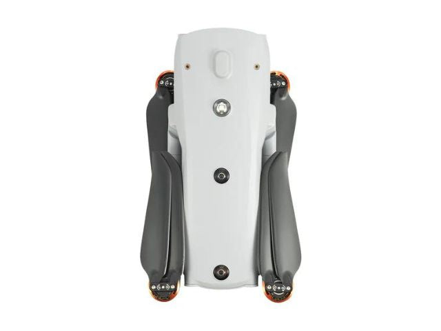
Autel EVO 4T MAX Drone
Autel EVO 4T MAX Drone
Couldn't load pickup availability
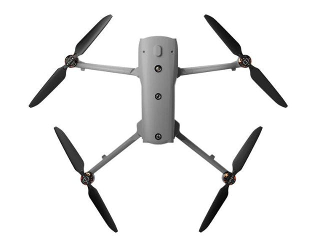
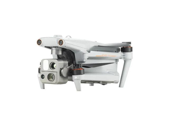
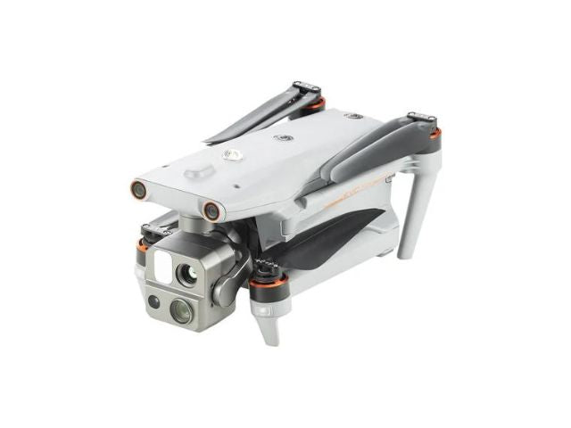
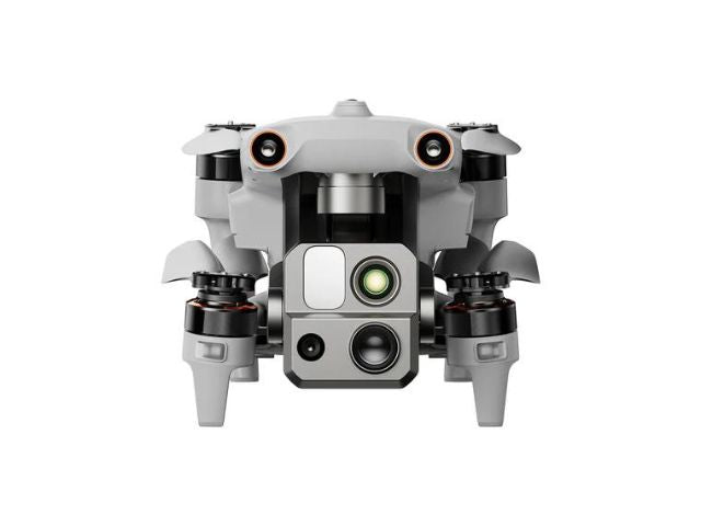
Technical specifications of the Drone Autel EVO 4T MAX:
| Weight | 3.5 lbs (1600 g, battery and gimbal included) |
| Max. Takeoff Weight | 4.41 pounds (1999 grams) |
| Dimensions |
|
| Diagonal wheelbase | 1,52 pies (464 mm) |
| Maximum climb speed | 8 m/s |
| Maximum descent speed | 6 m/s |
| Maximum horizontal speed (no wind near sea level) | 23 m/s |
| Maximum service ceiling above sea level | 23000 feet (7000 m) |
| Maximum flight time (no wind) | 42 minutes |
| Maximum travel time (no wind) | 38 minutes |
| Maximum wind resistance | 27 mph*
*Takeoff and landing can withstand wind speeds of hasta 27 mph (12 m/s). |
| IP Classification | IP43 |
| Maximum tilt angle | 35° |
| Maximum angular velocity | Paso: 300°/s; Guiñada: 120°/s |
| Operating temperature |
-4 °F to 122 °F (-20 ℃ - 50 ℃) |
| Operating frequency | 2,4G/5,2G*/5,8G/900MHz* |
| GNSS | GPS+Galileo+BeiDou+GLONASS |
| Transmitter power (EIRP) |
|
Floating precision:
| Vertical |
|
Cardan:
| Mechanical Range |
|
| Stable system | 3-axis mechanical gimbal (pan, tilt, pan) |
| Maximum control speed (step) | 200º/s |
| Angular vibration range | <0,005° |
| Zoom camera | (telephoto lens) |
| Sensor | 1/2" CMOS, effective pixels: 48M |
| Spring | Focal length: 11.8-43.3 mm (35 mm equivalent: 64-234 mm); Aperture: f/2.8-f/4.8 |
| Exposure compensation | ±3EV 0.3EV/step |
ISO Range:
| Normal mode |
Automatic: ISO100 ~ ISO6400 |
| Manual |
|
| Shutter speed |
|
| Maximum photo size | 8000×6000 |
| Maximum video resolution | 7680×4320 |
Wide camera:
| Sensor | 1/1.28 CMOS, Effective pixels: 50M |
| Spring |
|
| ISO range |
|
Thermal camera:
| Thermal camera | Uncooled VOx Microbolometer |
| Spring |
|
| Accuracy of infrared temperature measurement |
26.6~37.4 ℉ or reading ±3% (using the higher value) at ambient temperature -4 ℉ to 140 ℉. |
| Video resolution | 640*512 |
| Photo size | 640*512 |
| Pixel size | 12 microns |
| Temperature measurement method | Center measurement, pot measurement, rectangular measurement. |
| Temperature measurement range |
-4 ℉ to 302 ℉, 32 ℉ to 1022 ℉ (-20 °C to 150 °C, 0 to 550 °C) |
| Temperature alert | High and low temperature alarm thresholds, reporting coordinates and temperature values |
Laser Locator
| Measurement accuracy | ±3,3 pies (1m) |
| Measuring range | 3937 feet (1200 m) |
Image transmission
| Operating frequency |
2,4G/5,2G/5,8G/900MHz *5.2GHz only applies to FCC, CE and UKCA regions. 900 MHz only applies to FCC regions. |
| Maximum transmission distance (obstacle-free, interference-free) | 12.4 miles/20 km (FCC), 4.9 miles/8 km (CE) |
| Independent networks | Autel V3 Smart Controller |
| Transmitter power (EIRP) |
|
Autonomy:
| Floating without GPS and manual flight |
Inside: horizontal error ≤1.18 inches (at least have texture in one direction) |
| Exterior |
|
| Returning home without GPS |
|
Recognition and monitoring of multiple objectives:
| Types of target identification | people, vehicles, boats |
| Number of objectives detected | 64 |
| Comprehensive recognition accuracy | > 85 % |
Technical specifications of the Drone Autel EVO 4T MAX:
| Millimeter wave radar detection system |
|
| Detection range |
|
| Horizontal field of view (6 dB | ±60°, vertical (6 dB): ±30° |
| Speed measurement range | ± 134 mph (60 m/s) |
| Speed measurement accuracy | ≤1% |
| Max. Target detection number | 32 |
Autel V3 Smart Controller:
| Screen | 7.9 inches, 2000 nits max. brightness, resolution 2048*1536 |
|
External battery |
|
| Operating time |
|
| Maximum transmission distance (with interference) |
12.4 miles/20 km (FCC), 4.9 miles/8 km (CE) |
| IP Classification | IP43 |
| Storage | 128G |
| GNSS | GPS+GLONASS+Galileo+Beidou+NavIC+QZSS |
| Operating temperature |
-4 °F to 104 °F (-20 ℃ to 40 ℃) |
| wifi protocol | Direct WiFi, Wi-Fi Screen, Support 802.11a/b/g/n/ac Wi-Fi MIMO 2 x 2 |
| Operating frequency |
|
| Transmitter power (EIRP) |
|
Share
